
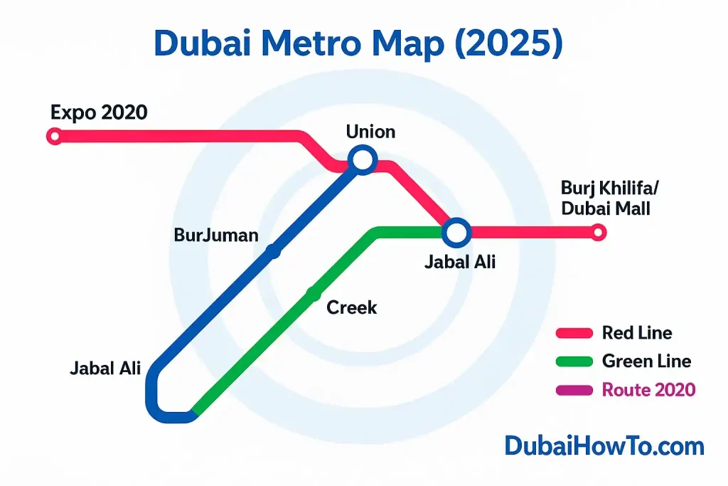
The Dubai Metro map shows two operational lines (Red & Green) plus the Route 2020 branch to Expo City Dubai. Use it to spot line colors, interchange stations (Union, BurJuman, Jabal Ali), and fare zones. Dubai’s network is expanding again with the Blue Line now underway and slated for 2029.
Plan with the Dubai metro map:
- Pick your origin/destination and note each line color.
- Mark interchanges (Union/BurJuman/Jabal Ali) if a transfer is needed.
- Count zones crossed to estimate fare; save the map image for offline use.
Dubai Metro map at a glance
Network overview
- Lines in service: Red (with Route 2020 branch) & Green.
- Stations: ~55 total (Red 35, Green 20).
- Length: ~89.6 km combined.
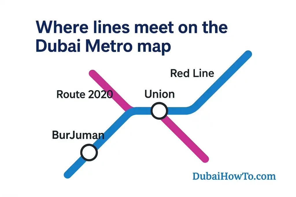
- Core interchanges: Union and BurJuman connect Red ↔ Green; Jabal Ali connects Red ↔ Route 2020.
Line colors & what they mean
- Red Line: Sheikh Zayed Rd spine + branches to Expo City Dubai and Life Pharmacy.
- Green Line: Creek, Deira, and old Dubai arc, looping to Healthcare City/Etisalat corridor.
Where to get the official map
You’ll find current maps at station concourses, in-carriage panels, and within the official RTA apps. Printed wall maps at interchanges are the easiest for planning multi-leg trips. Here’s the complete Dubai Metro map for you. Download it and carry it with yourself.
How to read zones on the Dubai Metro map?
The 7 public transport zones
Dubai’s public transport network uses 7 zones. Each station sits in a zone. Your fare is based on how many zones your trip crosses (including the start zone).
Counting zones for a trip
- Within one zone: pay the one-zone fare.
- Across two zones: pay the two-zone fare.
- Across three or more zones: pay the max multi-zone fare.
Example (quick)
Start in Deira (Zone A) and end at Expo City (Zone C), passing through a middle zone (B). That’s three zones → you’ll be charged the multi-zone fare. If you change from Metro to bus or tram, keep transfers within 30 minutes to keep it one journey.
Lines overview & key facts
Red Line (incl. Route 2020 branch)
- Length: ~67 km, 35 stations.
- End-to-end example: Centrepoint ↔ Expo 2020 is ~1h 14m (typical).
- Popular stops: Burj Khalifa/Dubai Mall, Mall of the Emirates, DMCC/JLT, Sobha Realty/Marina, Expo 2020, Danube.
Green Line
- Length: ~22.5 km, 20 stations.
- Arc of old Dubai: Union, Baniyas Square, Al Ghubaiba, Al Fahidi, Dubai Healthcare City, Etisalat.
- Best for: Creek-side districts, Deira souks, and historic neighborhoods.
Snapshot table
| Line | Terminals & branch | Approx. length | Stations | Interchanges |
|---|---|---|---|---|
| Red | Centrepoint ↔ Life Pharmacy; Jabal Ali ↔ Expo 2020 (Route 2020) | ~67 km | 35 | Union, BurJuman, Jabal Ali |
| Green | Etisalat ↔ Creek | ~22.5 km | 20 | Union, BurJuman |
Dubai Metro lines as shown on the 2026 map. Lengths and counts rounded for readability.
Interchange & connection points
Red ↔ Green transfers
Union (Deira) and BurJuman (Bur Dubai) are the two cross-line hubs. From the map, they’re the only stations that share both colors.
Red ↔ Route 2020
Jabal Ali is the junction where the Red Line splits toward Expo 2020 or Life Pharmacy. On the map the branch is clearly labeled as Route 2020.
Metro ↔ Tram
In Dubai Marina/JLT, pedestrian links connect Metro to Dubai Tram. On the printed map, look for the small tram icon near these stations.
Plan a route with the map (Step-by-step)
Step 1 — Identify: Circle your start and end stations on the map.
Step 2 — Trace: Follow the line color; if your path changes color, you’ll transfer at that station.
Step 3 — Count zones: Check the zone rings to estimate fare.
Step 4 — Time it: For long Red Line trips, budget ~70–75 minutes end-to-end; Green Line is shorter.
Step 5 — Save: Screenshot the map so you can navigate in low signal.
Future map: the Blue Line (to 2029)
What’s coming
The Blue Line is under construction (target 2029). It will add ~30 km and 14 stations, linking Dubai Creek Harbour, International City, Silicon Oasis, Academic City, Mirdif/Al Warqaa and more. When complete, the network will reach roughly 131 km and ~78 stations.
Why it matters
Expect faster cross-city trips to new education/tech districts and improved airport access. Your printed/digital map will show a third color (blue) with new interchange icons—plan for updated zone boundaries around those corridors.
Etiquette, cabins & accessibility
Cabins & signage
Women & Children and Gold Class cabins are marked on the map and platforms. A 2026 signage refresh rolled out clearer icons and floor markings—follow those to board the right car quickly.
Accessibility
Stations have lifts, tactile paving, audio-visual next-stop announcements and platform gap minimization. The map highlights step-free access at most stations—check symbols before you travel.
Station name changes (map tip)
Some stations are occasionally renamed via naming rights (e.g., Al Safa → ONPASSIVE → Garmin in 2026). If a map and a platform sign differ, you’re in the right place—look for the small “formerly” plaques.
Pro Tip: If you’re unsure how many zones your journey crosses, count the rings between your start and end on the map, then add 1 for the starting zone. That’s your chargeable zone count—easy.
Final thoughts
Use the Dubai Metro map to lock your route, interchanges, and zones in seconds. With the Blue Line coming, the map will keep evolving—always check the latest station names and layout at the station or in official apps before you ride.
FAQs on Dubai Metro Map
Is the Dubai Metro map the same in all stations?
Core design is consistent, but interim updates (new names, signage) may appear first at major hubs. Always compare with platform displays.
How do I find the fastest route using the map?
Minimize transfers. A one-transfer trip via Union or BurJuman is usually faster than zig-zagging through multiple smaller stations.
What if my map shows an old station name?
You can still use it. Look for the station code and line color; staff can confirm the current naming.
Does the map show first/last train times?
No—use in-station timetables or the official app. As a rule of thumb, weekday service begins around early morning and runs past midnight; Fridays run later.
Where can I get a high-resolution version?
Large wall maps are posted at interchanges. Save an up-to-date digital copy from official sources before a long journey.
Last updated: October 2026
Reviewed by: Transport researcher & UAE mobility editor (B.Eng)

Author: The DubaiHowto Editorial Team
DubaiHowto is an independent informational platform created to help UAE residents and visitors understand everyday services such as public transport, telecom, government procedures, visas, fines, and utility systems.
Our editorial team researches and verifies content using official UAE sources (including government portals, service providers, and regulatory authorities) and real on-ground experience of living in the UAE. Each guide is written to be practical, easy to understand, and regularly updated to reflect the latest rules, fees, and procedures.
We focus on clarity, accuracy, and usefulness — especially for people navigating UAE systems for the first time. Learn More about DubaiHowto.
Last reviewed: February 2026. Sources: Official UAE portals and service providers